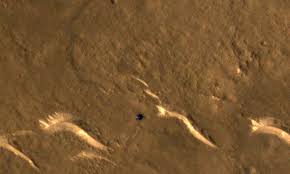
BEIJING: After orbiting Mars more than 1,300 times since the beginning of last year, an unmanned Chinese spacecraft has collected photographic data spanning the whole planet, including images of its south pole, state media announced on Wednesday.
China’s Tianwen-1 successfully completed its first journey to the Red Planet in February 2021. Since then, a robotic rover has been placed on the planet’s surface while an orbiter examined it from space.
China captured the first photos of the Martian south pole, where virtually all of the planet’s water resources are trapped, from orbit.
2018 saw the discovery of water beneath the ice at the planet’s south pole by an orbiting spacecraft run by the European Space Agency.
A permanent resource for any human investigation of the planet as well as a crucial step in establishing the planet’s potential for life is the discovery of subterranean water.
Other Tianwen-1 photos include shots of the Arabia Terra highlands in the north of Mars and the 4,000-kilometer (2,485-mile) long canyon Valles Marineris.
Tianwen-1 also returned top-down views of the 18,000-meter (59,055-foot) Ascraeus Mons, a sizable shield volcano that NASA’s Mariner 9 mission originally discovered more than 50 years ago, and high-resolution images of the edge of the enormous Maunder crater.


